Importing an SQL Server Data Source
OpenCities Map requires the following for proper query of SQL Server data.
Notes regarding SQL Server operation with OpenCities Map:
- SQL Server does not explicitly restrict tables from having more than one geometry type. It is up to the application to make sure that only one spatial data type is posted to the spatial table.
- OpenCities Map will not post the wrong spatial data type to a table correctly registered in OpenCities Geospatial Administrator.
- If a table contains spatial data types that do not correspond to the spatial type noted in OpenCities Geospatial Administrator, it will not be queried.
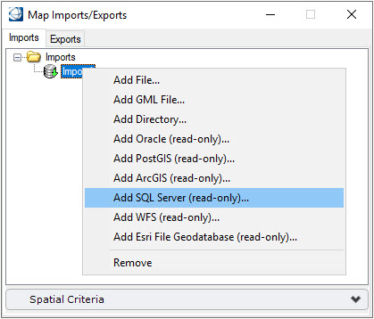
Any table with spatial data in SQL Server that abides to the requirements listed in this section, is available for import into OpenCities Map using the Add SQL Server (read-only) option in the Map Imports/Exports dialog.